|
|
Quad Expedition: Faraya - Cedars - Bekaa - Summer of 2007Posted by finkployd in
Photo
UPDATED: July 22nd with a dozen more photos
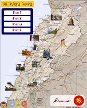
This Quad (ATV) Expedition took us from Faraya (Main Piste) to the Cedars - Bekaa Overpass at 2700 meters, then down to Ouyoun Ourghoush (lunch on the lakes) and onto Ainata (fuel stop). The trail back took us over the Fields of Yammoune. Total distance covered, 120 KM. Expedition Duration, 7 hours and 30 minutes, 6 of which on the quad. 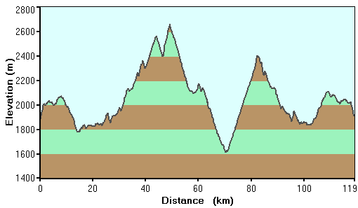 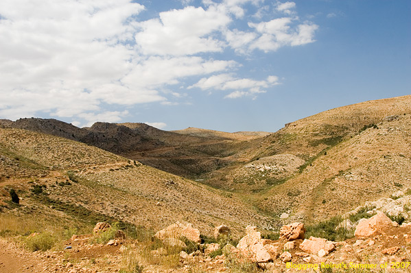 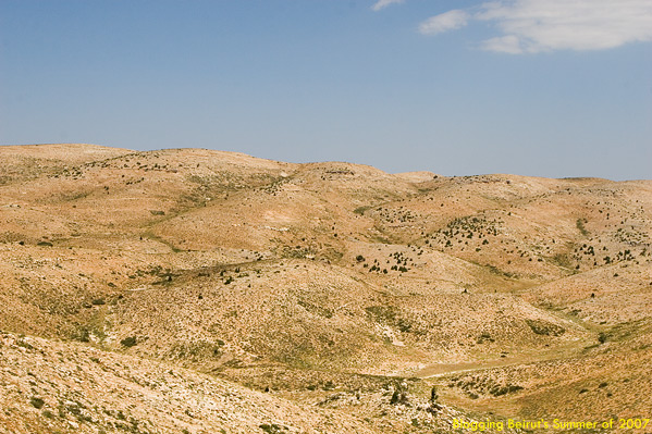 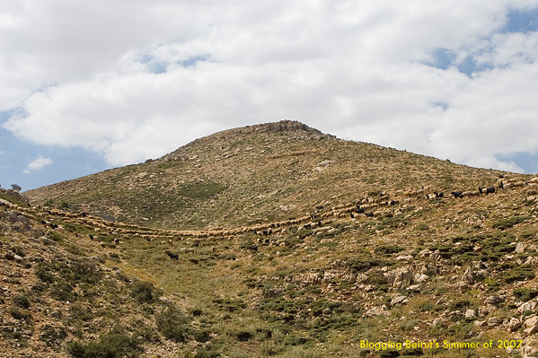 high res high res 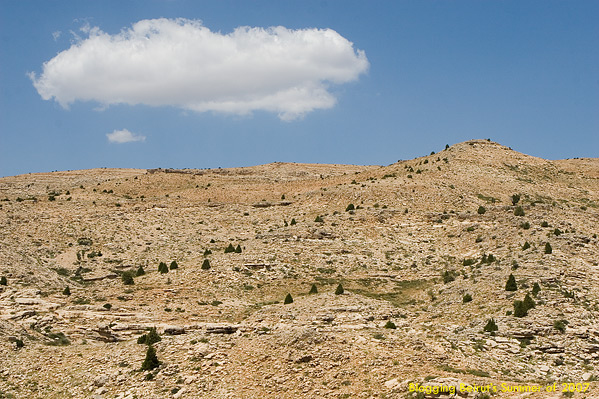 high res 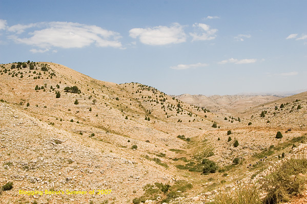 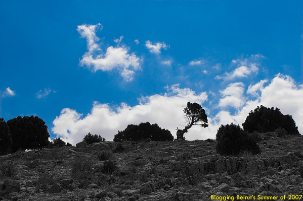 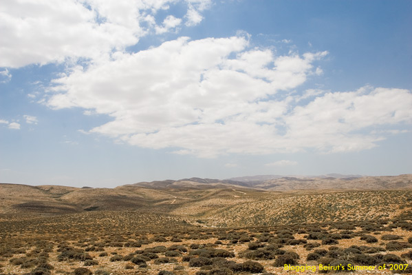 high res 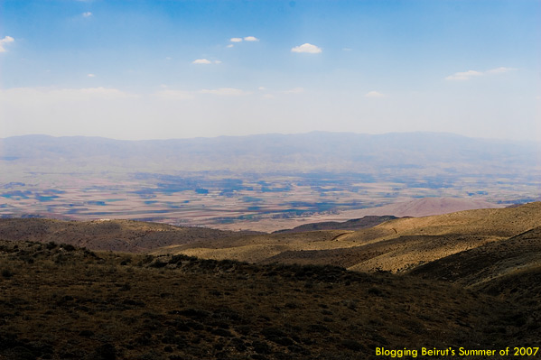 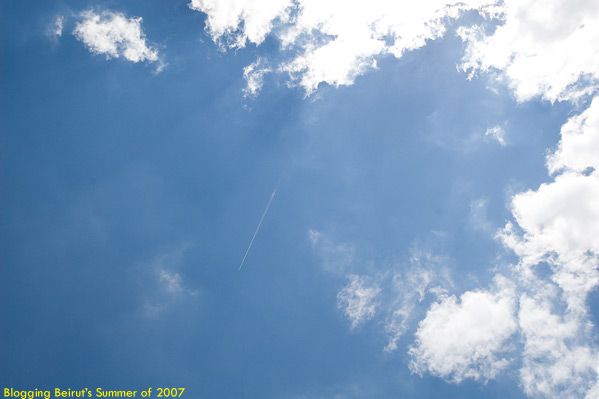 high res high res 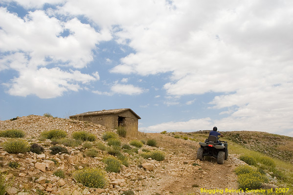 high res 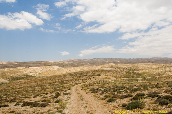 high res high res 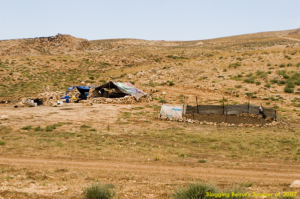 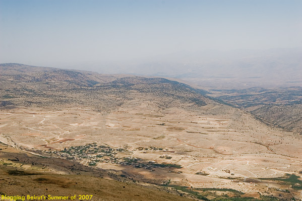 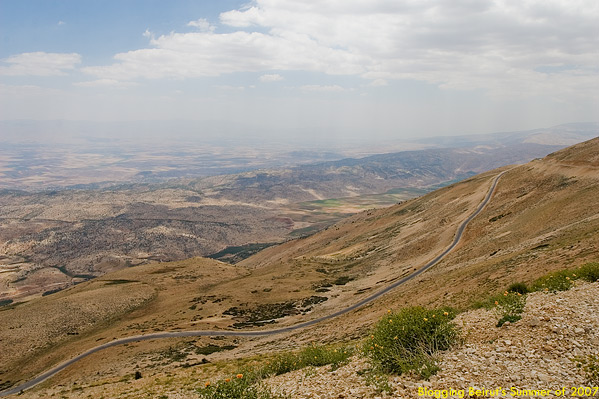 high res high res 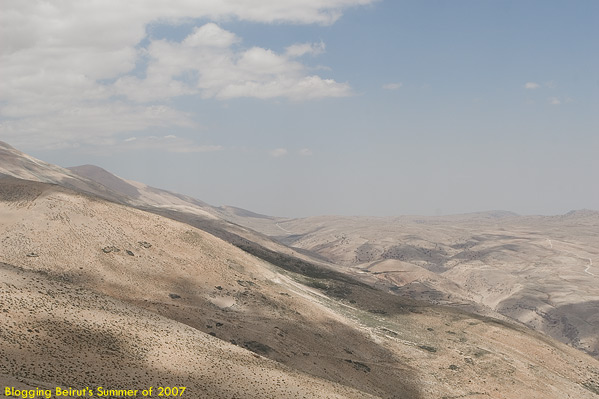 high res 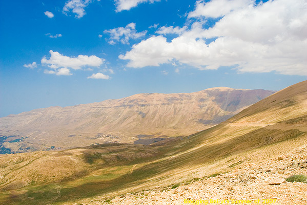 high res STILL ... more photos to come... Click Here tags: quad, atv, expedition, faraya, arz, the cedars, bcharre, warde, yammoune, ainata, ouyoun orghoush, dahr el adib, blogging beirut maps, geotagging, google maps, google earth, my maps, road trips, off road, landscape, photography, photo, pic, picture, marijuana, lebanese, mount lebanon, mapping lebanon, tagging lebanon, geo tag, gps, marker, army outpost, snow, ice, river, lake, church, goat, sheep, shepherd -finkployd- Expeditions on Blogging Beirut Trackbacks
Trackback specific URI for this entry
No Trackbacks
comments powered by Disqus Comments
Display comments as
(Linear | Threaded)
hey finkployd i need some details coz my friends n i want to do this cruise this weekend, can u provide me with more details or a phone number for the ATV rentals....
thanks :) im sure u know who is roy :P hahahah B.A.
no idea, it's been a long time since - any quad shack in faraya will take you there, just give them the destination :)
|